TOPODATA PRO™: Access to Georeferenced Data in the Dominican Republic
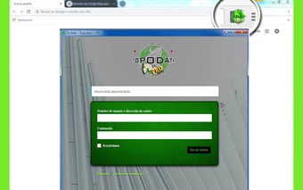
TOPODATA PRO™ is a Chrome add-on developed by EMT APP that provides easy access to georeferenced provincial, municipal, and sectional boundaries, as well as information on protected areas, national parks, environmental buffer zones, and parcel and lot numbers in the Dominican Republic. With the aim of simplifying the process of obtaining this data, TOPODATA PRO™ offers generic information through its user-friendly interface.
The app allows users to verify Cadastral Designation (Law), Territorial Division (ONE), Protected Areas (Law), and Cadastral Datain the Dominican Republic. Whether you're a real estate professional, a land surveyor, or simply curious about the country's territorial boundaries, TOPODATA PRO™ provides a comprehensive and convenient solution. Stay informed and make informed decisions with this valuable tool.